

Description - وصف
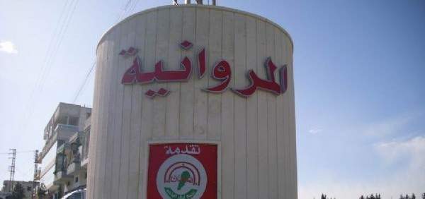
Al-Marwaniyah is a town in the works of Jabal Amel in southern Lebanon. Administratively affiliated to Sidon district, during the Ottoman rule, it was the center of the administration of the Shumar region, located between the Zahrani rivers in the north and the Litani river in the south, and from the Mediterranean Sea in the west to the borders of Al-Tuffah and Al-Shaqif regions in the east.
Al-Marwaniyah is about 59 km (36,6626 miles) from Beirut, the capital of Lebanon. It rises about 340 m above sea level and extends over an area of 1173 hectares (11.73 km² - 4.52778 sq mi (2)). And passes in some aspects of the general line that connects Zahrani Nabatiyeh. The nearest village to it is Zefta (Nabatiyeh District).